Rainier National Park: Lakes Trail
September 26th, 2014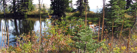
Ron and I visited Rainier National Park this past weekend. The last post talks about our hike to the lower glaciers along Skyline Trail on a blazingly hot Sunday. By contrast, on Monday morning we woke up to a light rain. This was a more familiar face of Rainier — but neither of us wanted to hike in the rain, so we wondered if we should stay. We were paying a lot for our hotel room and there is no TV, no Internet, no cell phone communication in the park. If the day turned out to be too wet to go hiking, I resolved that we would just check out a day early.
But by 10:30am the clouds broke up and the sky turned blue, so the hike was on!
This day was considerably cooler, but it was not cold. Late morning through early afternoon was sunny, but by late afternoon clouds had returned and I expected to get wet — but then the clouds broke up again. So once more, we were incredibly lucky with the weather.
We weren’t quite as lucky with the trail. The Lakes Trail drops down below the visitor center to Reflection Lake, but there are two branches to the trail. The shorter one turned out to be closed because of ongoing repairs on a road that the trail crosses. So instead of hiking down, we started off hiking up above the visitor center on the same trail we’d taken the day before, to a junction with Lakes Trail, where we began our descent. This trail provided a very different experience from the day before, as we traversed meadows and passed through groves of evergreens. Along the way there were a couple of incredible view points, one of Steven’s Canyon, and the other from Faraway Rock.
Once we reached the bottom, we crossed the road and started up again, this time aiming to reach Pinnacle Peak, which we did in the early afternoon. We then turned around and hiked back down to the road, and then up again, to Paradise Inn. Total mileage for the day was 10.8 miles.
Funny bit: in the morning, as we headed down Lakes Trail, I was concerned because the trail was so steep. I figured we’d be suffering on the way back up. But as I like to say, downhill is often harder than uphill. As we climbed back up in the late afternoon, I kept waiting for the hard part — and then realized that we’d just reached the junction with Skyline Trail. We’d reached the highest point of our route, and the hard part had never come!
Inspiring bit: as we returned via High Lakes Trail we encountered an older woman out hiking by herself. She was sitting in a meadow, very happily enjoying some fall berries and the gorgeous scenery, and had obviously been hiking there for years. I would guess that she was late seventies to early eighties in age. Awesome! I hope I can keep going just like her.
And now, more photos…
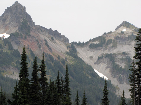
This picture was taken from Skyline Trail, above the Inn and the visitor center. Pinnacle Peak is the highest point. We didn’t actually climb to the peak, though. The maintained trail only goes to the saddle to the right of the peak, so that’s where we stopped.
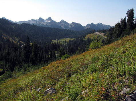
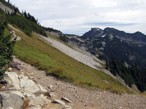
This is a part of the gorgeous scenery along Lakes Trail:
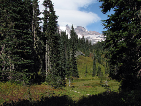
I think Lakes Trail is named primarily for Reflection Lake, but there are many smaller bodies of water along the way:
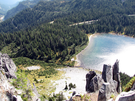
Faraway Rock is a precipice overlooking the valley. I’m not sure if it’s undercut, but from the top, it feels like it is! This terrible photo was taken by holding the camera out, trying to get a shot looking straight down:
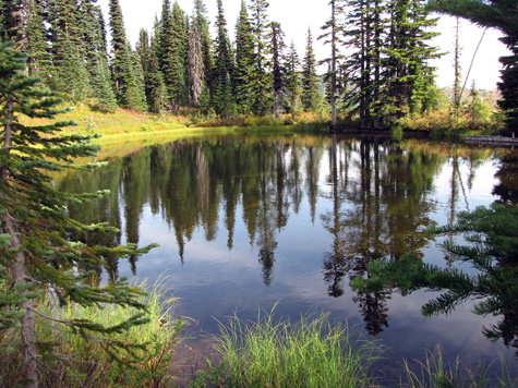
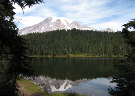
In my jaded, geeky way, I’ve come to expect pretty or romantic place names to exist primarily to lure tourists, and not necessarily because they are honest descriptions. So count me as surprised when I discovered that Reflection Lake actually reflects the mountain. Duh.
Here’s a look at the top section of the Pinnacle Peak trail, as seen from the visitor center. This photo was taken on the morning after our hike, when a light rain was falling.
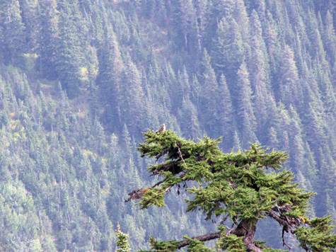
And this is what the landscape looks like behind Pinnacle Peak. See the grove of evergreens on the bottom right of this photo? After awhile, Ron noticed a light-colored object at the top of one of the trees. I took a telephoto shot of it and we saw…
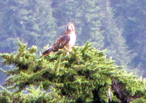
…this raptor, surveying its domain.
Zooming in on the image above yields this. Is it a golden eagle? Some kind of hawk? If you know please tell me
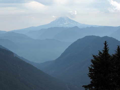
And here is a view of Mt. Adams from the top of the Pinnacle Peak Trail.
Our Rainier venture was timed just right. The next day, Tuesday, the rain began, and the following 24 hours were the wettest the Seattle area had seen in months.
Posted on: Friday, September 26th, 2014 at 11:00 am
Categories: Hiking, Travel.
Tags: Lakes Trail, Rainier National Park


September 27th, 2014 at 5:44 am
I love, love, love this sort of scenery! I can easily see myself wanting to live in an area like that when I retire. I would sit and stare out the window all day.
September 27th, 2014 at 6:00 am
It’s absolutely gorgeous, and of course different in the different seasons. I’m so happy we got to see the sunny side this time. 🙂
September 27th, 2014 at 6:51 am
Linda,
These kinds of views are why I have never moved away from Washington state. I like to travel, but have seen nothing that makes me want to settle anywhere else. Just amazing. And so few people appreciate it!
Rob